Reality Capture digital twin laser scans with optional O&M document mapping
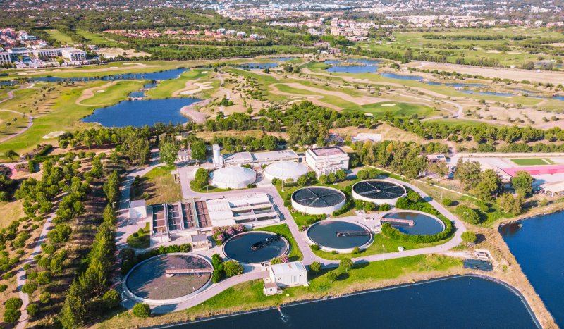
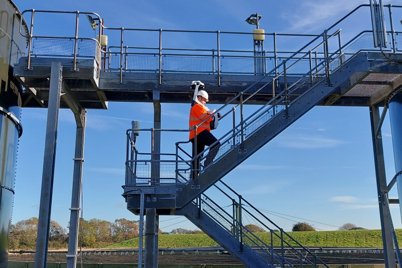
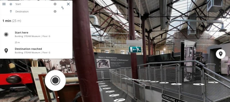
COGNICA utilised NAVVIS VLX lidar photogrammetry mobile laser scanning technology to rapidly capture large-scale sites at speed. Detailed RGB laser point clouds and high-definition images were seamlessly meshed and made explorable in Insite360, our secure cloud application. Reality capture was enhanced by adding Points of Interest (POI) markers with embedded content, including O&M documents, training videos, risk assessments, links to FM systems, issue reporting, asset maintenance schedules, sensor dashboards and more. Our customers used Insite360 to assess, explore, measure, export point clouds, train, monitor and manage their buildings and utility sites.